workgroup goal
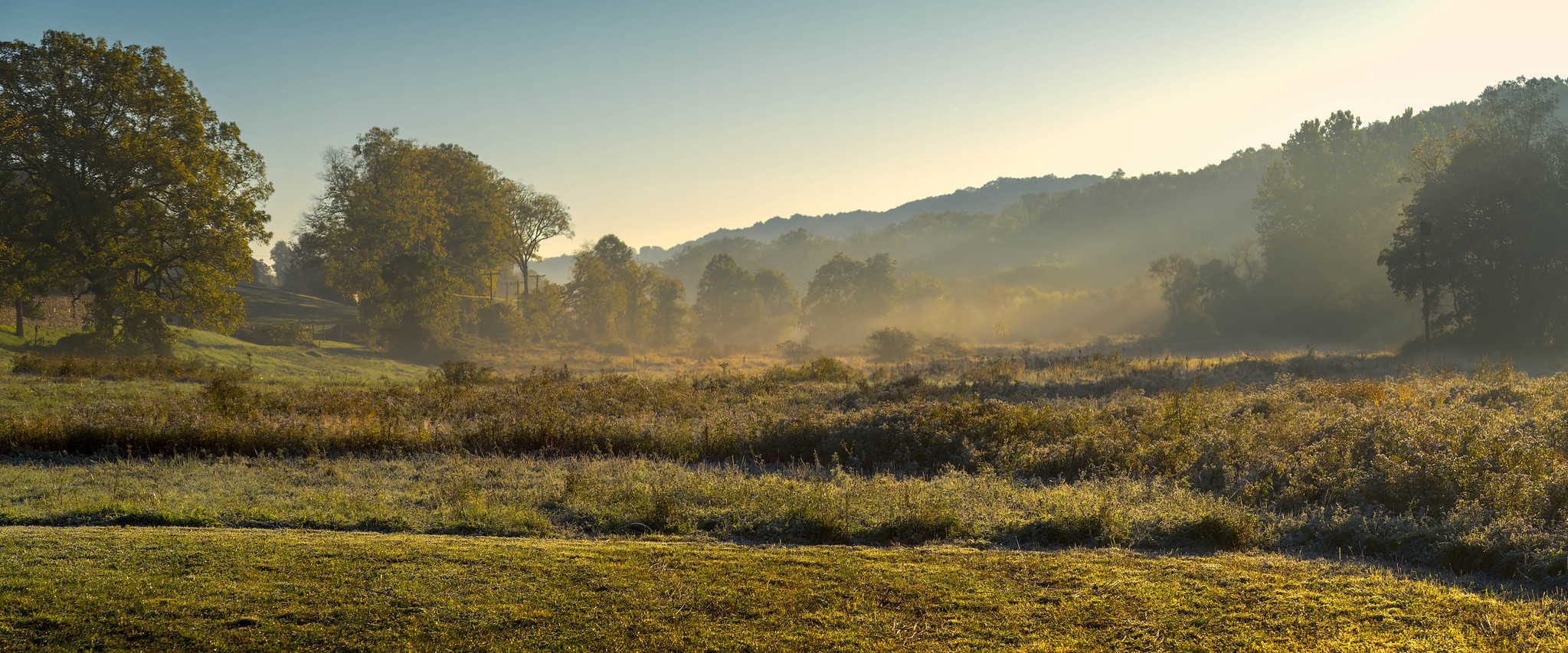
To conserve natural lands and open spaces for water quality improvement.
key actions
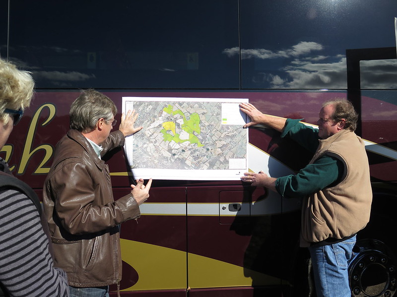
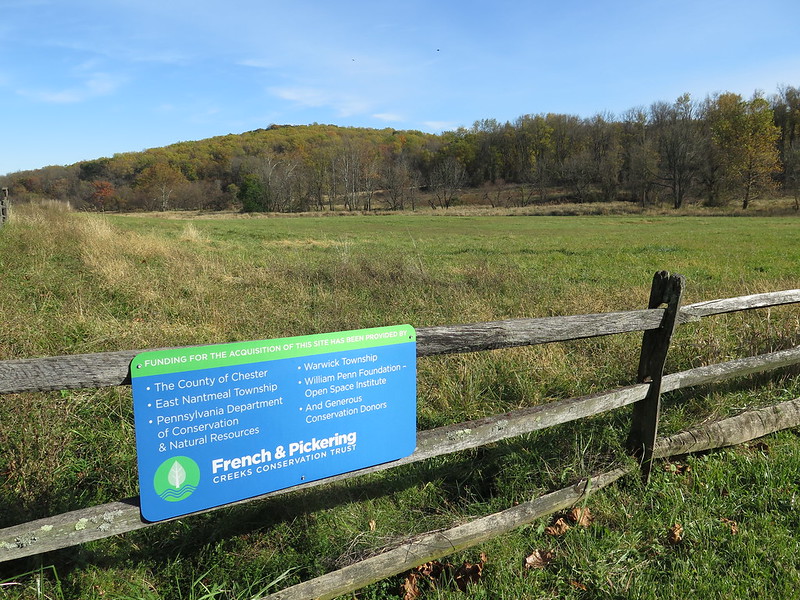
- Preservation of high-priority habitats and lands.
- Restoration of natural cover on conserved properties.
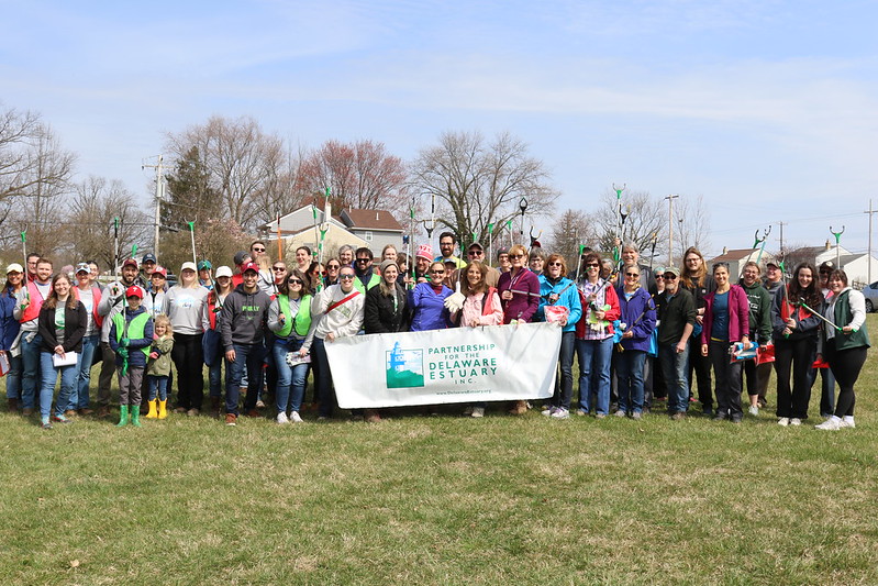
- Engagement and education on the benefits of land conservation.
- Collaboration with partners to achieve effective land preservation.
Events

featured event
Watershed Land Collaborative Workgroup Meeting
January 23, 2024
There are currently no events for this workgroup.
News
-
Small Actions, Essential Impact: Essential Utilities Improves Communities During Month-Long 2025 Earth Day Celebration
-
PA Bulletin: PA DEP Requests Data to Support Stream Redesignation Evaluations; Class A Wild Trout Streams; Water Quality Standards Review
-
Berks Nature hoping for positive aftereffects of Neversink Mountain fire
-
USGS launches groundwater monitoring project at Angelica Creek Park
-
10.4 Acres Preserved Forever in West Vincent Township
Cover photo credit: Ed Bacon